Building off of some of the work I’ve done with Jeff Stein over at the Ithaca Voice, this will be done in the form of an explainer.
1. What do you mean by “construction boom”?
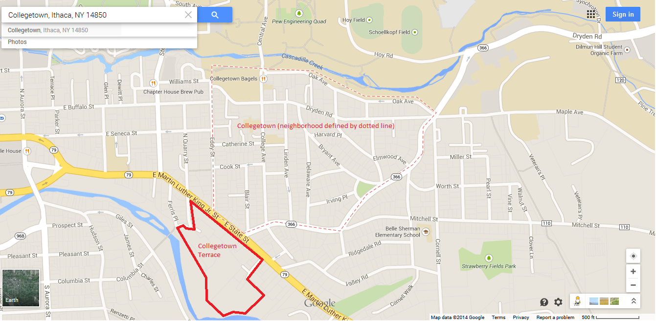
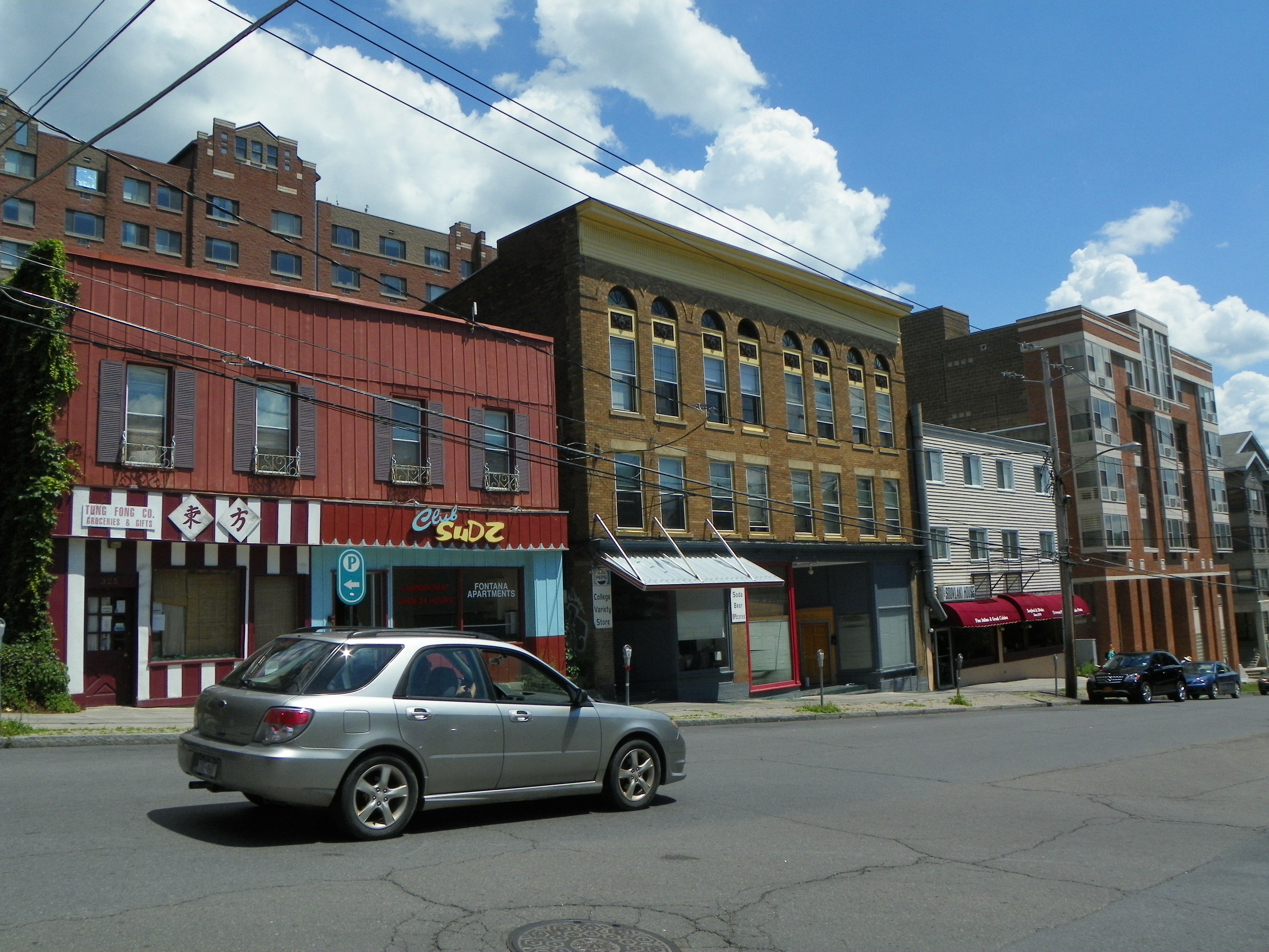
Housing proposals have increased in the city of Ithaca in the past couple years, and in no place is it more apparent than Collegetown. The recent proposal for 327 Eddy Street brings the total of proposed developments to five – 327 Eddy, 205 Dryden Road (Dryden South), 307 College Avenue (Collegetown Crossing), 140 College Avenue (the John Snaith House addition), and 202 Eddy Street (a reconstruction of a house that burned down). As proposed, the projects would add 86 units and 223 bedrooms to Collegetown proper, a level of development not seen since before the October 2007 development moratorium.
2. Moratorium? What’s that, and why did Ithaca vote for one?
In its basic definition, a moratorium is a temporary ban on an activity. In Ithaca’s case, a moratorium on all new construction was voted into place by the Common Council for what was traditionally defined as the Collegetown neighborhood. Construction already approved could go forward, but no projects in the neighborhood could be reviewed and approved until the moratorium was lifted. The moratorium was originally for 12 months, then extended to 18 months, finally lifting in April 2009. One might have expected construction to take off at that point, but it didn’t, for the same reason the moratorium was put into place – design and implementation of a new zoning plan for Collegetown, sometimes called the Collegetown Vision, and later, the Collegetown Urban Plan and Conceptual Design Guidelines.
3. It took them seven years to update the Collegetown zoning?
Well, if you count from the time the initiative was announced, it was actually eight years. Initially came a public meeting period from 2006 to 2007 to design an implementation strategy (you could joke they had a meeting on how to set up meetings). Then they selected Goody Clancy, a Boston-based urban planning firm, to design the guidelines based off city and market needs, and public input. When the plan came out in late 2008, a number of local officials and public members were unhappy because they felt it made Collegetown too dense, so they counteracted and endorsed a plan in August 2009 that reduced the proposed zoning, placed emphasis on annual payments in lieu of parking, and instated community incentives to allow for taller structures. For instance, at the corner of College and Dryden, the Goody Clancy plan called for 90′, and the revised plan called for 60′, with 75′ if special incentives were met, like hotel rooms or community space. If you’re really interested, you can view a 239-page PDF that shows the two plans here.
At this point, many of the major property owners in Collegetown were incensed by the complicated zoning plan and balked at having to pay for parking that many of their tenants wouldn’t use. The landowners ran to their lawyers, and faced with an insurmountable legal challenge, the city was unable to affirm their endorsement. For $250,000 in fees and costs, there was nothing changed from when the vision statement was written, because no one could come up with a compromise.
4. Then why are we seeing a building boom if there was no zoning change? Or did the city actually come up with a plan?
In fact they did. One of the biggest changes to the plan over the past few years was the exploration and adoption of form-based zoning. Traditional zoning focuses on use – residential, industrial, and so forth. Form-based zoning focuses on the design of the structure – how tall it can be, should it have street-level retail, porches, window size, setbacks, and so forth. There have been many meetings to work out the details, but eventually, a form-based plan was developed. I’m not going to bore you with the zoning details, but if you’re interested, I did a write-up here, and you can find a copy of the new zoning plan here. Perhaps the key detail to developers was that for the most densely zoned parcels, parking would no longer be required. In an area of extremely high land values like Collegetown, that makes all the difference.
5. So you’re telling me this came down to parking?
That was a big part of it, yes. Also, because the zoning’s been in flux for so long, a lot of developers who wanted to build were holding off because they weren’t sure if they would end up spending money designing and planning something that would be prohibited by a change in zoning. Once the new zoning was adopted this past March, it created an attractive, stable structure for those inner Collegetown parcels, and developers have responded in earnest.
6. Whoa, hang on. I’ve seen that huge Collegetown Terrace project going up on East State Street. Why aren’t you counting that?
Because it falls just outside what’s considered to be Collegetown, and was never affected by any of the zoning debate. Not to say that the project wasn’t controversial, but that’s another story.